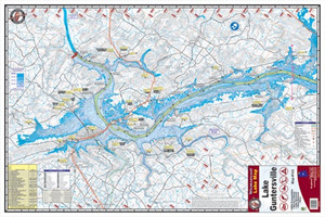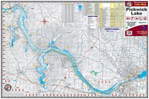

Kingfisher Lake Map Wheeler/Wilson
$9.26
$10.37
(You save
$1.11
)
The Kingfisher Lake Map Wheeler/Wilson is a detailed waterproof map designed for anglers, paddlers, and outdoor enthusiasts exploring the Wheeler and Wilson lake regions. Whether you're planning a fishing trip, scouting new water, or navigating by canoe or kayak, this map provides the local detail you need to find structure, access points, and navigate safely. Kingfisher maps are trusted by serious anglers and water-sports enthusiasts who demand accuracy and durability in the field.
Built to withstand wet conditions, this map is an essential tool for anyone spending time on these waters. Unlike generic online maps or phone apps that drain batteries and fail without signal, a printed water map stays reliable and readable whether you're in bright sunlight or changing weather. Keep one in your tackle bag, boat, or pack as a backup to digital navigation or as your primary reference.
Kingfisher maps are known for their clarity and practical detail—the kind of information local guides and experienced anglers rely on. If you fish, paddle, or boat these lakes regularly, or you're new to the area and want to understand the layout before you launch, this map gives you the edge.
Frequently Asked Questions
Is this map waterproof?
Yes, Kingfisher maps are printed on waterproof material, making them suitable for use on the water and in wet conditions.
What lakes does this map cover?
This map covers Wheeler Lake and Wilson Lake in detail, including shoreline features, access areas, and navigation references useful for fishing and paddling.
Who makes Kingfisher maps?
Kingfisher is the publisher of this lake map series, specializing in detailed water maps for anglers and outdoor enthusiasts.