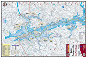
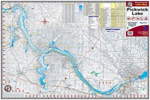
Kingfisher Lake Map West Point
$9.26
$10.37
(You save
$1.11
)
The Kingfisher Lake Map West Point is a detailed waterway chart designed for anglers, paddlers, and boaters exploring West Point Lake. Whether you're planning a fishing trip, scouting new water, or navigating by boat, this map provides the local knowledge you need to fish and move confidently. Kingfisher maps are trusted by serious water sportsmen who demand accurate, legible detail for their home waters.
A quality lake map belongs in every angler's tackle box or boat cabin. This West Point chart gives you the bottom contours, structure, and geography that separate a productive day from an aimless one. Unlike generic GPS alone, a physical map lets you read the water at a glance, spot likely holding zones, and navigate safely without relying on battery life or signal.
Kingfisher has built a reputation on maps that serious hunters and anglers actually use—not tourist souvenirs. The West Point Lake map is printed and scaled for field durability and readability, ideal for planning before you go and confirming your location while you're on the water.
Frequently Asked Questions
What lake does this map cover?
This is a detailed map of West Point Lake.
Who should use a Kingfisher lake map?
Anglers, paddlers, boaters, and anyone fishing or navigating West Point Lake will benefit from the detailed bottom contours and geographic features Kingfisher maps provide.
Can I use this map alongside GPS?
Yes. Many anglers and boaters carry both a physical map and GPS for redundancy, quick visual reference, and detailed local structure that complements electronic navigation.